
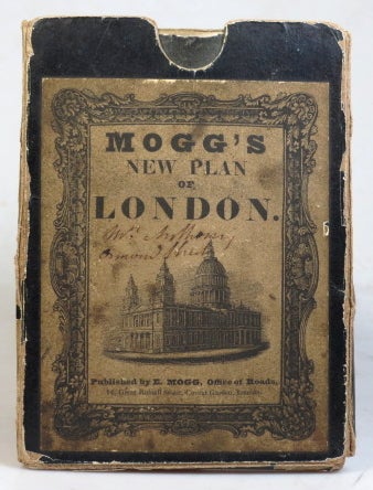
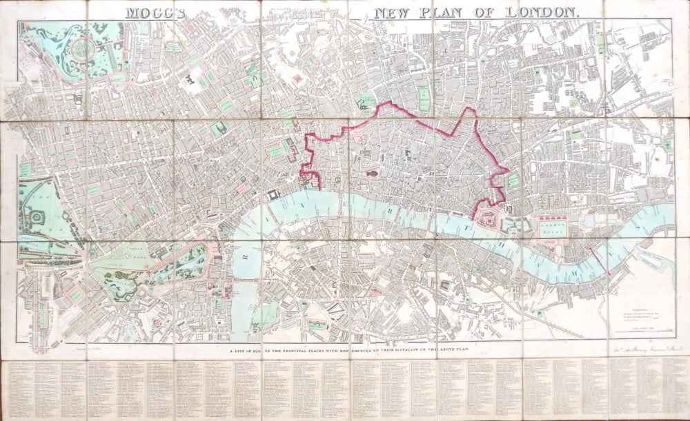
Mogg's New Plan of London.
London: E. Mogg, Jany. 1st, 1838. Map dimensions 42.5 x 87.5 cm, overall 56 x 91.5 cm. Folding map of London showing the extents from Pentonville down to Newington and Stepney across to Hyde Park, the boundary of the City marked in red plus original hand colouring to the parks and bodies of water, 24 column index of "900 of the principle places" to the lower margin, dissected into 32 sections and mounted on linen. Folds into the original dark blue papered slipcase, publisher's printed title label to the upper cover, the signature of the original owner "Wm. Anthony Ormond Short" to the lower margin of the map and the case label. Slipcase quite worn but sound, the map generally very good. Cf. Howgego, 353a, this issue not one of the five listed between 1835 and 1843. Item #37552
Price: £600.00