
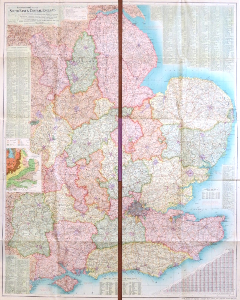
Richardson's Map of South East & Central England. Comprising the Counties of Derby, Nottingham, Lincoln, Leicester, Rutland, Warwick, Northampton, Huntingdon, Cambridge, Norfolk, Suffolk, Bedford, Oxford, Buckingham, Hertford, Essex, Middlesex, London, Berkshire, Wiltshire, Hampshire, Surrey, Sussex & Kent. Showing Boroughs in Separate Colours, Railways, Roads, & Golf Links.
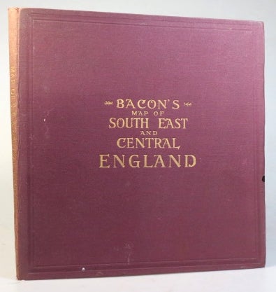
[Manchester]: G.W. Bacon, [1920s]. Folding colour printed map in two parts each measuring 48 x 123 cm, i.e. 96 x 123 if joined, both sides backed onto linen and folding between publisher's purple cloth boards, gilt lettered to the upper cover. Originally published by the firm Frank S. Richardson, also of Manchester. Item #33648
Price: £30.00
See all items in
Maps & Atlases
See all items by G. W. BACON