
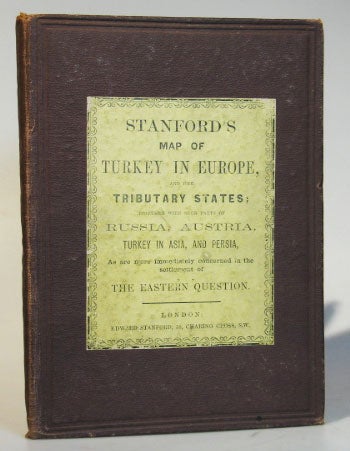
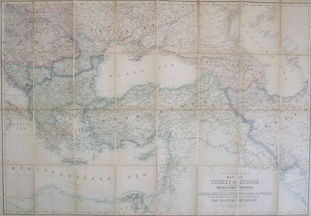
Stanford's Map of Turkey in Europe and Her Tributary States, Together with Such Parts of Russia, Austria, Turkey in Asia & Persia as are More Immediately Concerned in the Settlement of the Eastern Question.
London: Edward Stanford, April 12, 1877. Map dimensions 73 x 106 cm, overall dimensions 75.5 x 111 cm. Large folding map of the regions from central and eastern Europe through the Caucasus and across to the eastern shores of the Caspian Sea and the northern reaches of the Persian Gulf. Original colour in block and outline. Dissected into 32 sections and mounted on linen, folds between original brown cloth covers, Stanford's yellow printed advertisements to the inner cover and the folded end section of the map and their printed title label to the upper board. Some light wear to the covers and the title label, save for some light toning to the paper, the map in very good condition. The map illustrates the overall theatre of the Russo-Turkish War and the bordering states affected by the conflict. The prospect of Russian ascendancy in the region in the face of the disintegration of the Ottoman Empire heightened British fears and led to widespread coverage and debate on the "Eastern Question" Item #22099
Price: £290.00