
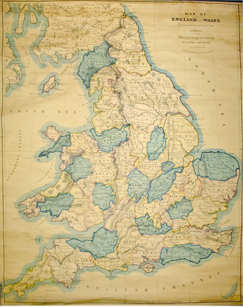
Map of England And Wales, Constructed for the Use of the Schools of the British and Foreign School Society.
London: C. Smith. 172 Strand. Jan. 1st, 1851. Overall dimensions 165 x 130 cm. Very large map of England and Wales printed over four conjoined sheets mounted on linen and fixed upon original wooden rollers, printed brief title label to upper roller. Original colour demarcating the counties. Slight fraying to upper edge of lower left sheet, occasional minor creasing, paper toned evenly, paper coming away from lower roller at lower left. A very handsome map. Item #18842
Price: £300.00
See all items in
Maps & Atlases
See all items by S. ARROWSMITH