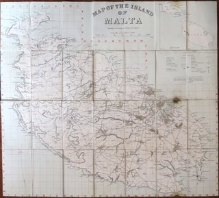
Map of the Island of Malta. Prepared in the Royal Engineers Office, Malta.
[London] : Geographical Section, General Staff, [1910]. Overall dimensions 71 x 80 cm. Folding map of the island with an inset showing its size and proximity to Gozo and Comino, with red grid lines numbered and lettered to the edges, dissected into 35 sections and mounted on linen, folds between..... More