
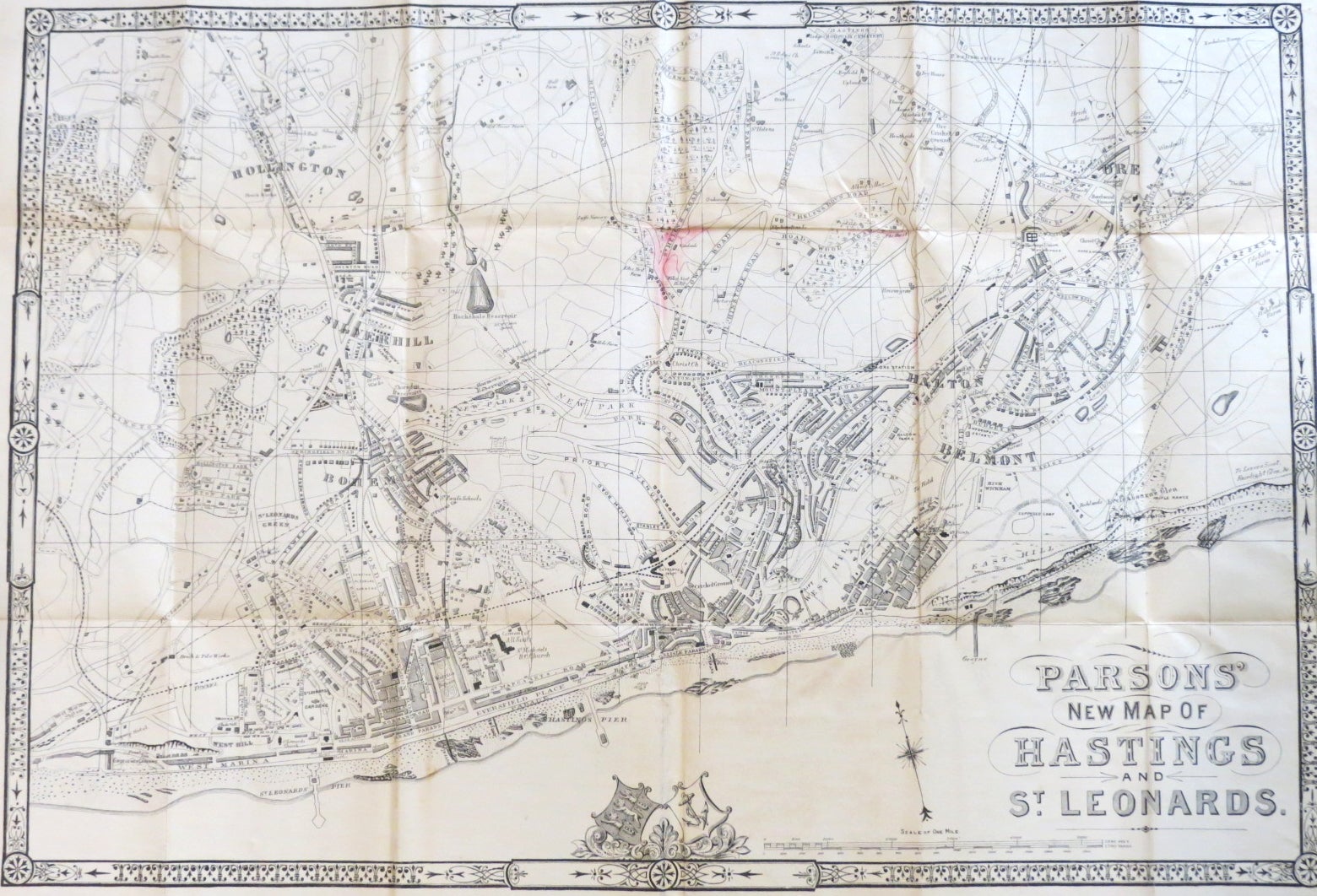
Parsons' New Map of Hastings and St. Leonards.
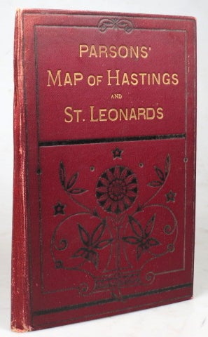
Hastings: F.J. Parsons, [1893]. Folding map measuring 38 x 58 cm, or 48 x 63 cm including the margins. Slight staining to the middle of the map, backed onto linen with some further light staining, signature dated March 1893 to the reverse. Original gilt titled maroon cloth covers, spine and corners slightly worn. Also published in Parsons' Hastings Directory for 1894. Only one copy noted of the map on its own, in the British Library, who date it 1894. Item #39292
Price: £45.00
See all items in
Travel
See all items by F. J. PARSONS, Publisher