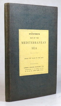
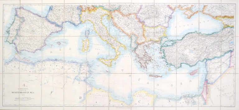
Stanford's Map of the Mediterranean Sea.
London: Edward Stanford Ltd., 1923. Map dimensions 63 x 136 cm, overall 68 x 153.5 cm. Large folding chart of the Mediterranean and adjacent lands, original outline colour to the coastlines and international borders, dissected into 33 sections and mounted on linen, folds between original green cloth boards with Stanford's traditional yellow printed label to the upper cover and their printed yellow advertisements to the inner cover and folded end section. Very good. Item #37565
Price: £225.00
See all items in
Maps & Atlases
See all items by Edward STANFORD, Ltd