
Calais.
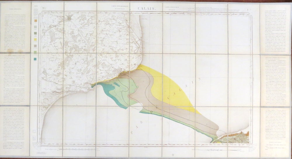
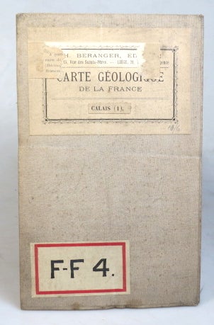
[French Geological Survey], 1878. Map dimensions 53 x 85 cm, overall 62.5 x 116 cm. Large folding geological map of this French region, the Channel and the adjacent area of Kent although the colouring solely highlights the stratification of the French coast and an underwater strip, scientific text to both side margins with a colour key to the left, dissected into 27 sections and mounted on linen, original French mapseller's label to one panel of the linen verso with a contemporary Edward Stanford label to the lower margin of the map. Very good. Sheet 1 of the "Carte Géologique Detaillée de la France" Item #37540
Price: £30.00
See all items in
Maps & Atlases
See all items by CARTE GÉOLOGIQUE DETAILÉE DE LA FRANCE