
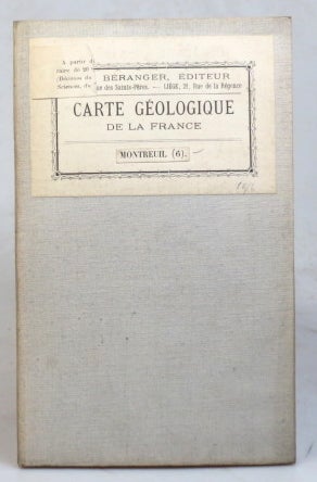
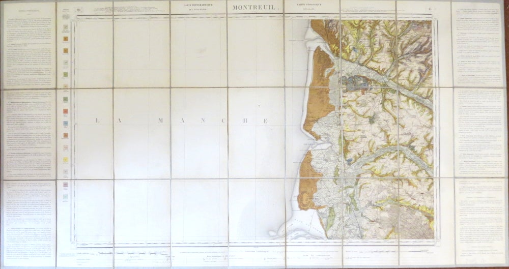
Montreuil.
[French Geological Survey, c.1914]. Map dimensions 53.5 x 84.5 cm, overall 62.5 x 116.5 cm. Large folding colour printed geological map of this French region, scientific text to both side margins with a colour key to the left, dissected into 27 sections and mounted on linen, original French mapseller's label to one panel of the linen verso, a small contemporary Edward Stanford's label affixed to the lower margin of the map. Very good. Sheet 6 of the "Carte Géologique Detaillée de la France" Item #37535
Price: £30.00
See all items in
Maps & Atlases
See all items by CARTE GÉOLOGIQUE DETAILÉE DE LA FRANCE