
Road Map of India.
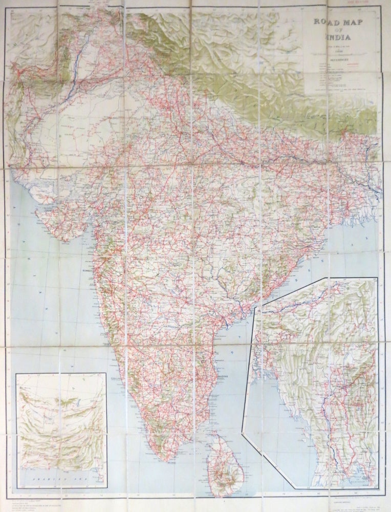
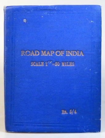
(Calcutta): Published under the direction of Brigadier C.G. Lewis, Surveyor General of India,. 1943. Coloured folding map on linen with dissections, map dimensions 98 x 74 cm, overall 108 x 81 cm, to a scale of 50 miles to the inch. Inset maps of what is now western Pakistan and most of Burma to the lower corners. Creasing to the lower edge of the top row of dissections due to poor folding. Original gilt titled blue cloth covers with mild wear. Item #35215
Price: £65.00
See all items in
Maps & Atlases
See all items by SURVEY OF INDIA