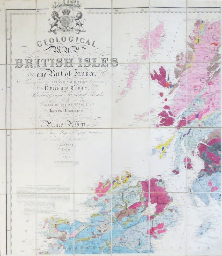
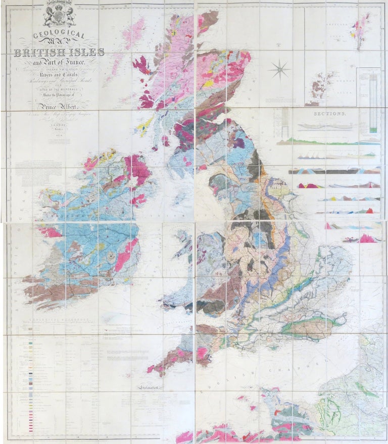
Geological Map of the British Isles and Part of France. Showing also the Inland Navigation by Means of Rivers and Canals, Railways and Principal Roads, and Sites of the Minerals...
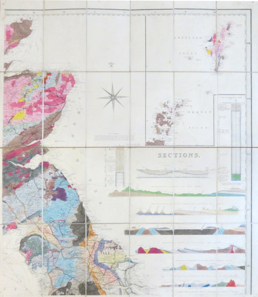
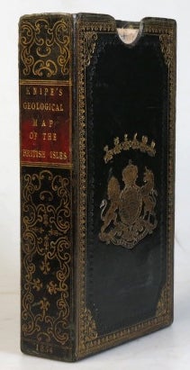
London: Published for the Proprietor by Stanford... & by Grant & Griffith... (Late Harris) also at Edinburgh by W. & A.K. Johnston, 1854. A fine folding geological map of the country with bright original hand colouring illustrating the geological strata, an inset map of the Shetland and Orkney Islands to the upper right of the north east sheet plus 9 sections from around the country underneath also coloured, the map printed over four parts, each measuring c. 76 x 65.5 cm, i.e. 159 x 136 cm if joined, each part dissected into 24 sections and mounted on linen, marbled paper to each of the folded end sections with miniature outline maps to one side of each part, publisher's green morocco slipcase, gilt decorated spine with a dark red gilt lettered label, gilt arms of Prince Albert (to whom the map is dedicated) to the upper board. The upper corners of the case sometime neatly repaired, small pinholes to the corners of the maps from previous use, a very attractive example. A revised issue of the second edition of Knipe's magnificent geological map of the British Isles, the first issue of the first edition having been published in 1843 with the first issue of the second edition appearing in 1851. As with Knipe's previous notable geological map, that of England & Wales published from 1835 onwards, the map was reissued at intervals and updated with fresh data collected from fieldwork. This edition has a printed list of "authorities consulted" that provides an illustrious roll call of Knipe's forerunners and contemporaries in the science: Smith, Greenough, Lyell, Mantell and Murchison to name but a few. This issue has a postscript to that list, dated 1852, highlighting some of the amendments from the first edition. Item #33287
Price: £2,400.00