
The Illustrated Map of London and Environs.
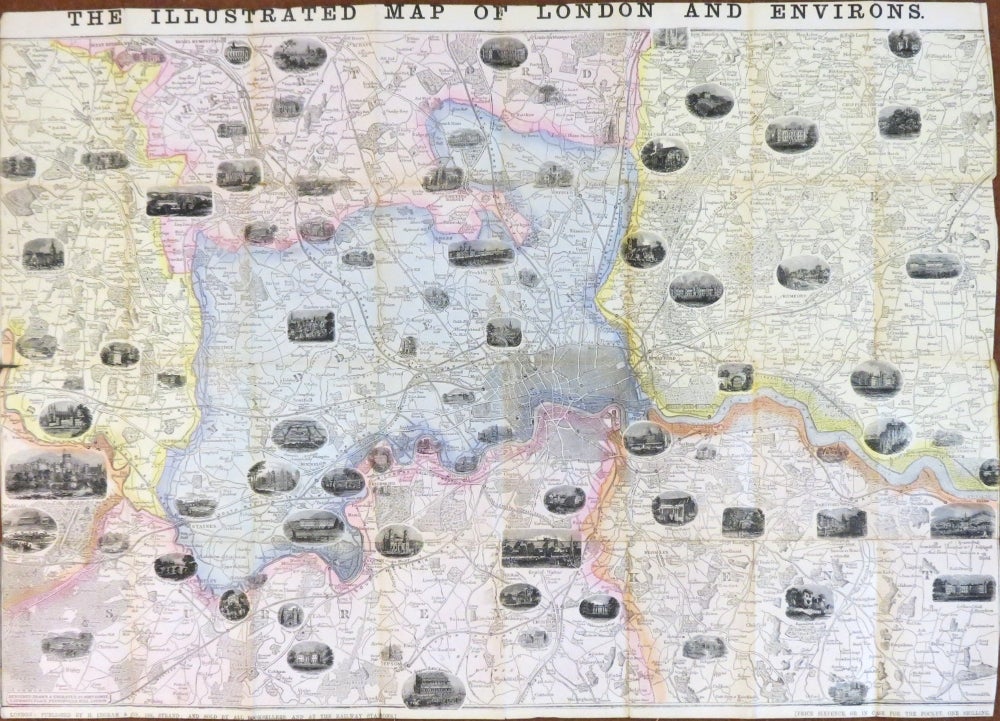
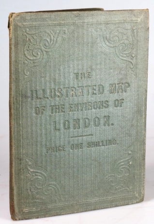
London: H. Ingram & Co., [c.1857]. Map dimensions 51.5 x 76.5 cm. Attractive folding map of London and the surrounding area showing the extents from Hatfield down to Coulsdon and Hornchurch across to Maidenhead, original wash colour marking out the county boundaries, the map peppered with decorative vignette views of principle places. Original green cloth covers with blindstamped lettering and decoration. Subtly reinforced with tissue at a few points on the verso, slight wear to the covers, a very good example of a fragile item. Hyde, 40, (2). First published as a supplement to the Illustrated London News in 1855, this was the first separately published edition. As Hyde notes, it was issued flat or folded as here. Item #30888
Price: £300.00