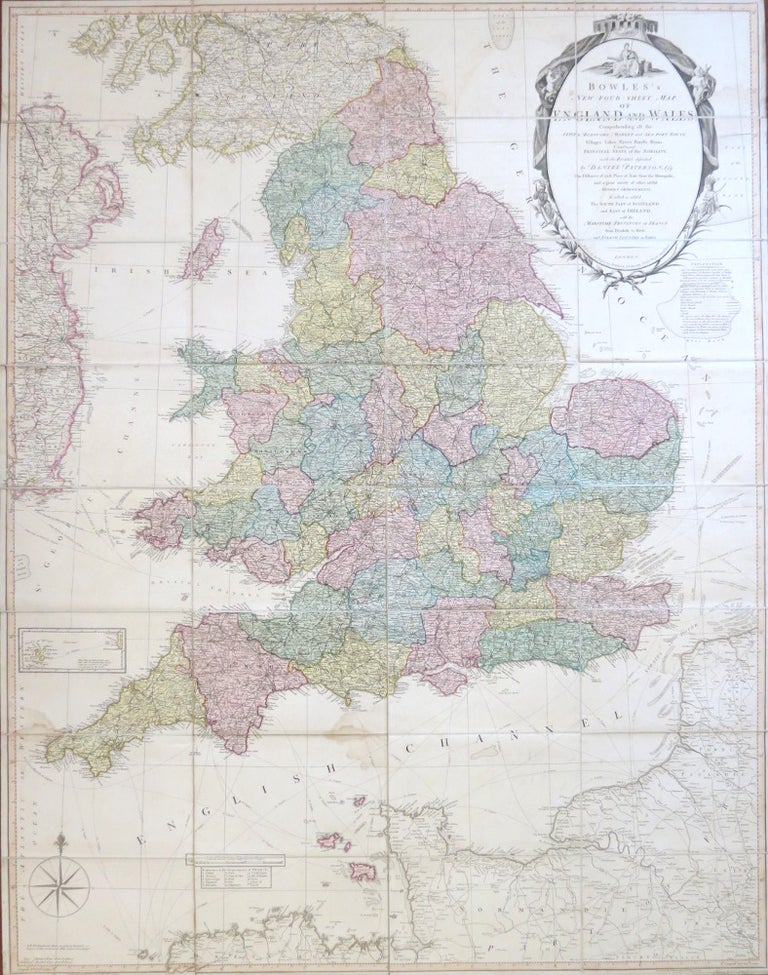
Bowles's New Four-Sheet Map of England and Wales: Comprehending all the Cities, Boroughs, Market and Sea Port Towns, Villages, Lakes, Rivers, Forests, Ruins, Canals, and Principal Seats of the Nobility, described by...
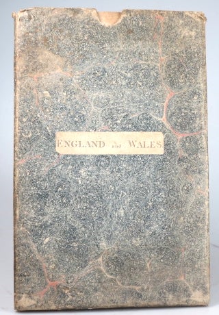
London: Printed for proprietors Bowles & Carver, 1810. Map dimensions 130 x 101.5 cm, overall 132.5 x 103.5 cm. Large folding map with original colour in block and outline demarcating the counties, ornate title cartouche to the upper right corner with an explanatory key adjacent, inset map of the Isles of Scilly plus shipping lanes printed to the seas, dissected into 32 sections and mounted on linen, folds into original marbled paper slipcase with printed title label to the upper board. A few light stains, else very good. Item #29391
Price: £375.00
See all items in
Maps & Atlases
See all items by BOWLES AND CARVER, Daniel PATERSON