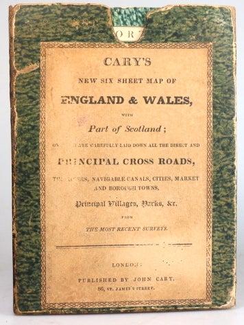
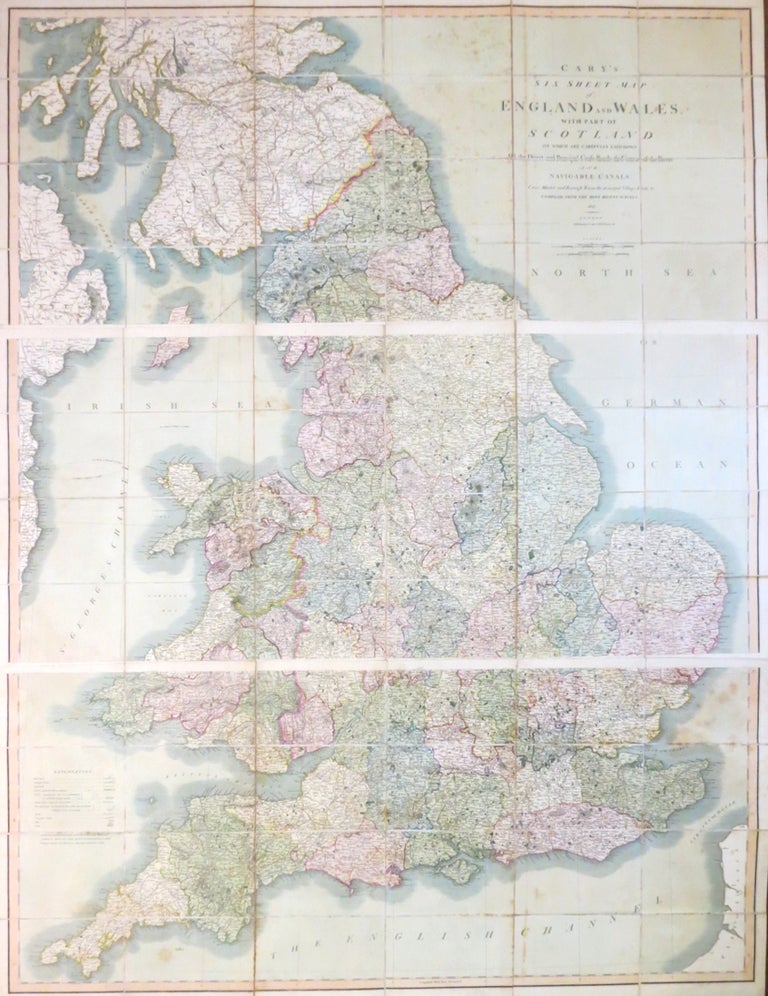
Cary's Six Sheet Map of England and Wales, with Part of Scotland: on which are Carefully Laid Down all the Direct and Principal Cross Roads, the Course of the Rivers and Navigable Canals, Cities, Market and Borough Towns, the Principal Villages, Parks &c...
London: J. Cary, 1826. Presented in three parts, each measuring 48.5 x 107 cm overall (i.e. c.145 x 107 cm if joined) and dissected into 24 panels and mounted on linen, original outline colour, original marbled paper covered slipcase with publisher's printed label to the upper board, matching marbled paper to the folded end sections with brief title labels to one side. Rubbing to the edges of the case, occasional light spotting to the maps, very good overall. Item #28580
Price: £250.00
See all items in
Maps & Atlases
See all items by J. CARY