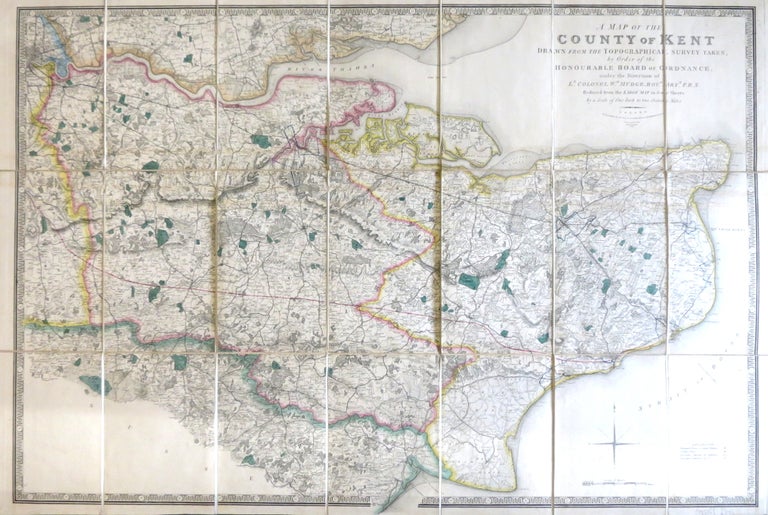
A Map of the County of Kent Drawn from the Topographical Survey Taken, by Order of the Honourable Board of Ordnance, ... Reduced from the Large Map in Four Sheets by a Scale of One Inch to Two Statute Miles.
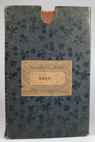
London: Jas. Wyld, 1841. Map dimensions 59.5 x 89 cm, overall 63.5 x 94.5 cm. Finely engraved folding map of the county, dissected into twenty-four sections and mounted on linen, green silk trim to the edges, marbled paper to the folded end sections, folds into original green embossed cloth slipcase with Wyld's printed label to upper board and brief title label to one spine. Some mild wear to the corners of the case, a lovely example overall. Kent was the first of the Ordnance Survey maps to be published, appearing in 1801. This version, reduced in format and scale, was first published by Faden in 1807 and then by his successors, the Wylds, at intervals through to the mid-19th century. Item #28526
Price: £295.00