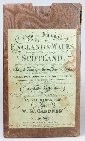
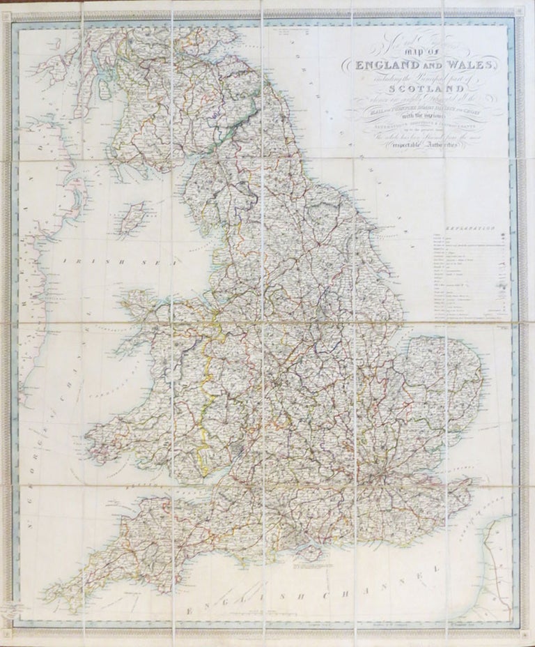
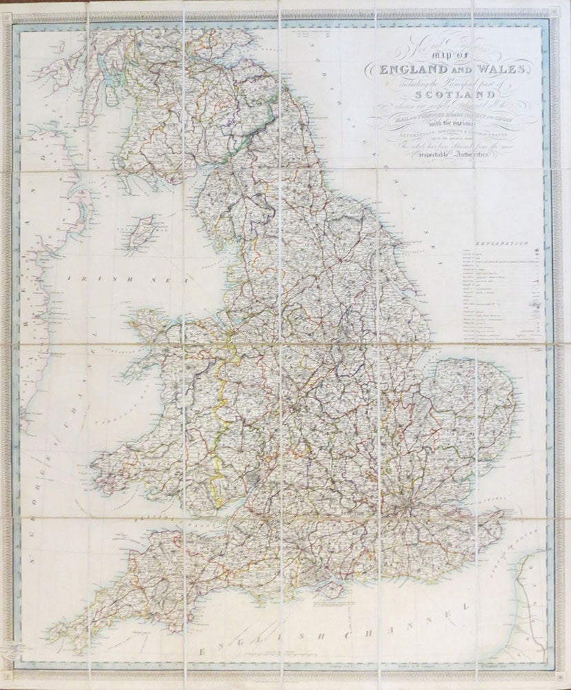
New and Improved Map of England and Wales, Including the Principal Part of Scotland whereon are Carefully Delineated all the Mail and Turnpike Roads Direct and Cross with Various Alterations Additions & Improvements Up to the Present Time...
London: William Darton & Son, [c.1825]. Map dimensions 76 x 64 cm, overall 78.5 x 66 cm. Folding map with original outline colour highlighting the principal roads, dissected into 24 sections and mounted on linen, folds into the original brown moiré cloth slipcase with the publisher's green printed title label to the upper cover, matching cloth panels to the folded end sections. Crack to the upper joint of one side of the case, but holding, the map in very good condition. Item #26103
Price: £120.00
See all items in
Maps & Atlases
See all items by W. R. GARDNER