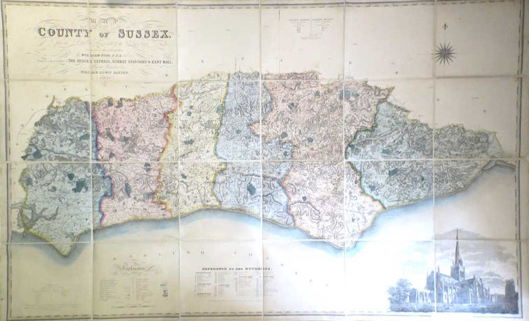
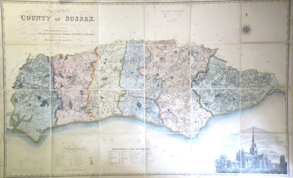
Map of the County of Sussex from an Actual Survey Made in the Years 1823 & 1824 Corrected to the Present Time by... Presented to the Subscriber's to The Sussex Express, Surrey Standard & Kent Mail, by the Proprietor...
Lewes: William Edwin Baxter, 1861. Map dimensions 128 x 208 cm. A decorative large map of the county with original hand colouring in block and outline marking out the rapes, large vignette illustration of Chichester Cathedral to lower right corner of the map, tables of explanation and a reference to the hundreds to the lower edge, the whole dissected into twenty four sections and recently skilfully remounted on new linen. Chipping to a few section edges, otherwise a very good example. The map was first published in this large format by the Greenwoods in 1825. This by no means common edition was brought up to date by the local surveyor William Figg, as with Baxter, a notable family name in and around Lewes. Kingsley notes that the map was not printed at Baxter's Lewes printworks, rather by the London firm Maclure, Macdonald and Macgregor. Kingsley, 89 A. "First Lithographic Transfer" Item #19666
Price: £900.00