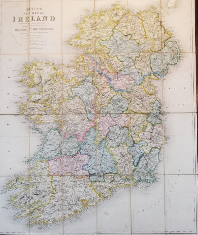
Betts' New Map of Ireland Accurately Reduced from the Beautiful Six Sheet Map Engraved Under the Superintendence of the Railway Commissioners. The Matter Compiled From The Latest Parliamentary Returns and Other Valuable Documents.
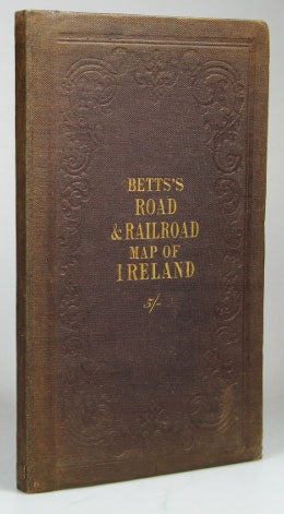
London: John Betts. 115 Strand (nearly opposite Exeter Hall), [c.1860]. Map dimensions 75 x 62.5 cm, overall dimensions 77.5 x 64 cm. Folding map of Ireland with attractive original colour in block and outline demarcating the county boundaries. The whole dissected into twenty-four sections and mounted on linen, folds between original brown cloth covers, title in gilt to upper cover and blindstamped to both, plain buff coloured paper to folded end section and to inner cover. The covers slightly faded at extremities, a few minor blemishes to the map, otherwise a very good example. The routes of the railways completed, in progress and proposed indicated on the map and variously coloured. Item #19348
Price: £225.00