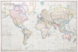
Laurie's Chart of the World on Mercator's Projection. (Reduced from the Large Chart by John Purdy).
London: Richard Holmes Laurie, 9th Jan., 1857. Map dimensions 64 x 97 cm, overall 67 x 101.5 cm. Folding chart of the word with full original hand colour, dissected into 21 sections and mounted on linen, folds between original purple blindstamped morocco boards. A lovely example. An attractive reduction of..... More