![Item #23087 [Collection of Six Folding Maps]: The World on Mercator's Projection. [with] Map...](https://bowwindows.cdn.bibliopolis.com/pictures/23087.jpg?width=320&height=427&fit=bounds&auto=webp&v=1446578509)
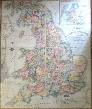
[Collection of Six Folding Maps]: The World on Mercator's Projection. [with] Map Exhibiting the Navigable Rivers, the Completed & Proposed Rail-Roads of Great Britain & Ireland, with the Coal Fields, Light House &c. [with] Central & Southern Europe with the Mediterranean Sea. [with] British Possessions in North America, with Part of the United States, Compiled from Official Sources. [with] Central America and the West Indies... [and] Asia.
London: Longman & Co., 1840-41. Six folding maps of various sizes between 52 x 63 cm and 38 x 46 cm, all dissected and mounted on linen, the map of Asia with original outline colour, others uncoloured, matching patterned papers to the folded end sections and with handwritten title labels..... More