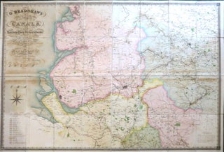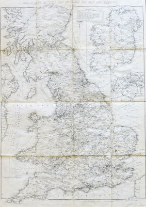
Bradshaw's Railway Map of Great Britain and Ireland.
London and Manchester: Bradshaw and Blacklock, Lithographers, December, 1859. Map dimensions 57.5 x 43 cm, overall 62.5 x 44.5 cm. Folding railway map of England Wales and southern Scotland with a large inset map of Ireland to the upper right corner and a smaller inset of London, not dissected and..... More