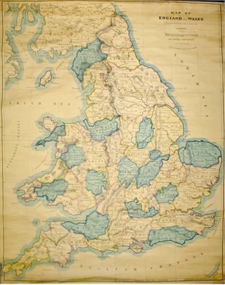
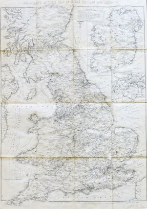
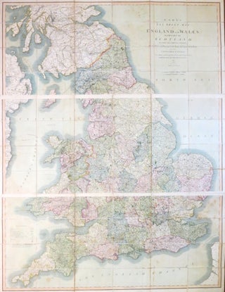
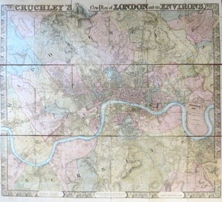
Map of England And Wales, Constructed for the Use of the Schools of the British and Foreign School Society.
London: C. Smith. 172 Strand. Jan. 1st, 1851. Overall dimensions 165 x 130 cm. Very large map of England and Wales printed over four conjoined sheets mounted on linen and fixed upon original wooden rollers, printed brief title label to upper roller. Original colour demarcating the counties. Slight fraying to..... More

![Item #46814 [Geological Map of Sussex and part of Hampshire]. Geological Survey of Great Britain,...](https://bowwindows.cdn.bibliopolis.com/pictures/46814.jpg?width=320&height=427&fit=bounds&auto=webp&v=1712743352)
![Item #23087 [Collection of Six Folding Maps]: The World on Mercator's Projection. [with] Map...](https://bowwindows.cdn.bibliopolis.com/pictures/23087.jpg?width=320&height=427&fit=bounds&auto=webp&v=1446578509)
![Item #40198 New Dissected Map of England [and Wales]. JIGSAW](https://bowwindows.cdn.bibliopolis.com/pictures/40198.jpg?width=320&height=427&fit=bounds&auto=webp&v=1645108769)