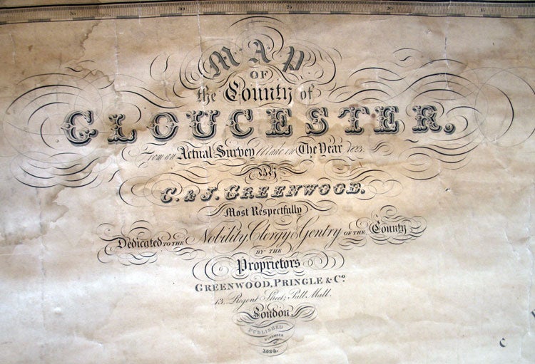
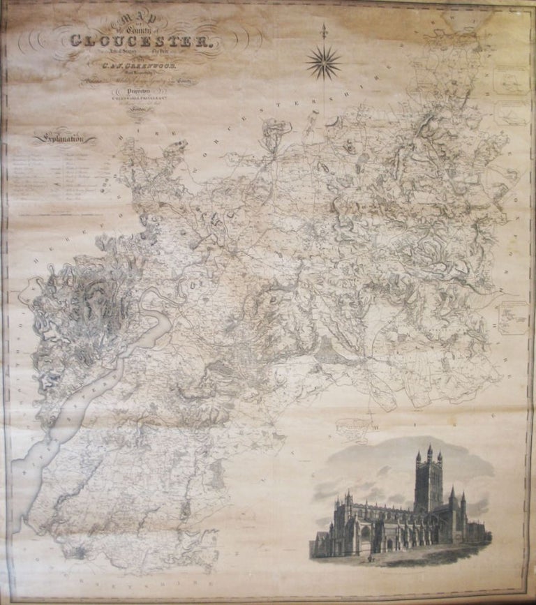
Map of the County of Gloucester, Made from an Actual Survey in the Year 1823...
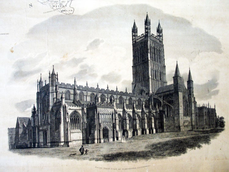
London: Greenwood, Pringle & Co., 1824. A large decorative folding map of the county with a large vignette of Gloucester Cathedral, printed over six conjoined sheets measuring 144 x 127 cm overall, uncoloured, mounted on linen and affixed to original wooden rollers, the side edges trimmed with green cloth. The paper evenly toned overall, some occasional stains and marks, else very good. Item #21843
Price: £630.00
See all items in
Maps & Atlases
See all items by C. GREENWOOD, J